GeoFrame
Core Features
Everything you need to explore your photo library in a completely new way.
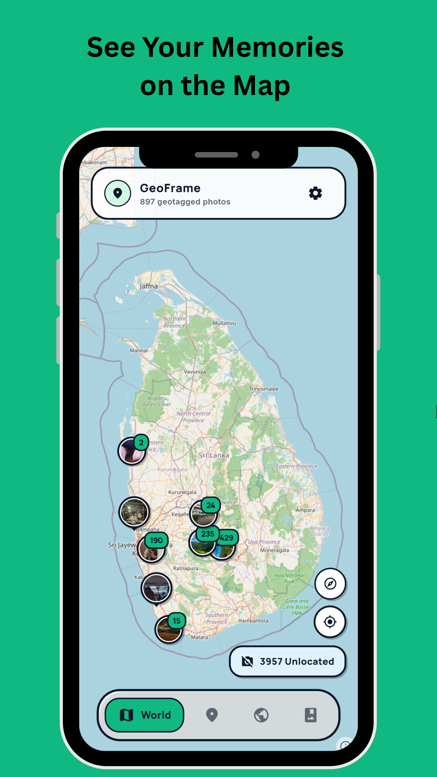
Your Memories on a Map
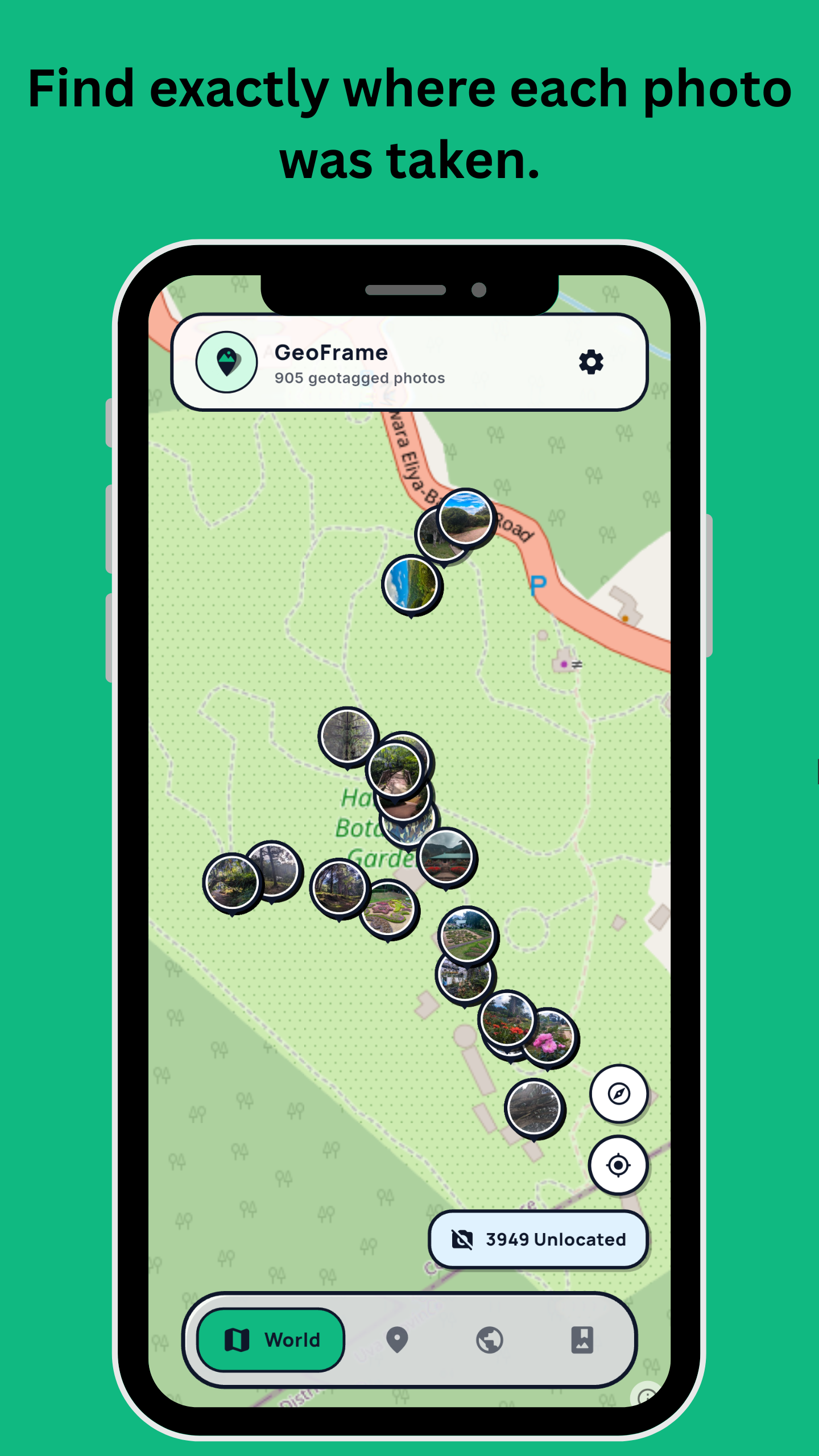
GeoFrame reads the location data saved in your photos and pins them onto a stunning, highly responsive interactive map. Pan across continents, zoom into neighborhoods, and see exactly where every memory was captured.
Smart Photo Clustering
As you zoom out, photos taken in the same area elegantly group into beautiful clusters. As you zoom in, the clusters expand — allowing you to pinpoint the exact street corner or beach where you took the shot.
Places & Countries
GeoFrame automatically categorizes your photo library based on location. Quickly pull up all photos from a specific city, or browse your entire travel history grouped by country.
Create albums
You can create photo albums and display specific images from a trip on a map.
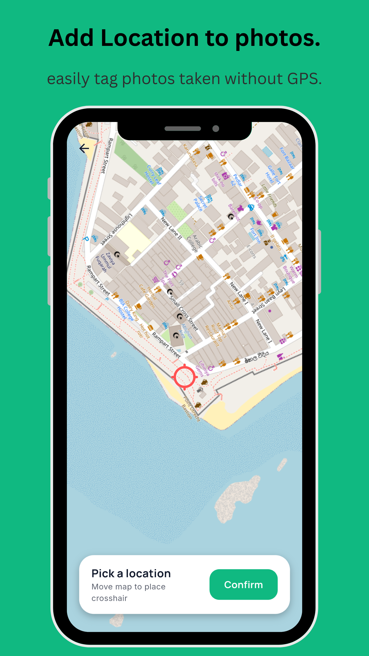
Add Location to photos
Not every photo has GPS data. GeoFrame features a dedicated "Unlocated" section, making it easy to identify which photos are missing location tags. and add location to them using the map.
Screenshots
Take a closer look at GeoFrame in action.